01
Ingest
Connect heterogeneous sensors and existing systems: radar tracks and video, RF / Remote ID telemetry, EO/IR, acoustic sensors and additional external sources.
- Radar tracks & video
- RF / Remote ID telemetry
- EO/IR streams
- External sources
Turn disconnected drone detection systems into one operational picture.
DroneCore by Horizonte correlates radar, RF, EO/IR, acoustic and other sensor feeds into a single real-time picture of low-altitude threats — helping operators detect, understand and respond faster.
Correlate heterogeneous sensor data into persistent tracks.
AI-assisted classification with explicit confidence and uncertainty.
Intelligent warnings for incursions, proximity and no-fly-zone breaches.
Open interfaces and APIs to existing sensors, systems and C2 platforms.
Designed for mission environments with controlled access and flexible deployment.
Modern C-UAS environments increasingly contain multiple specialised sensors. Each one sees a different part of reality.
Operators should not have to interpret several independent screens and decide manually whether they are looking at the same object.
Connect heterogeneous sensors and existing systems: radar tracks and video, RF / Remote ID telemetry, EO/IR, acoustic sensors and additional external sources.
Determine which observations from different sensors belong to the same physical object, and maintain persistent tracks across multiple sensor systems.
Sensor fusion, tracking algorithms and AI-assisted classification distinguish drones, birds, clutter and unknown objects — with uncertainty represented explicitly rather than hidden.
Turn tracks into actionable warnings based on airspace incursions, proximity, no-fly-zone breaches and other operational rules.
DroneCore by Horizonte does not simply answer “drone detected: yes”. It continuously builds and updates competing hypotheses from the evidence available at that moment.
DroneCore by Horizonte is designed as a sensor-agnostic integration layer. It does not replace existing sensors — it makes them work together.
Movement and kinematics
Emissions and telemetry
Visual and thermal evidence
Rotor and platform signatures
Positioning and reference
Environmental context
Open integration paths
SAPIENT support is planned and not an existing capability.
DroneCore uses a containerised, modular microservice architecture, so defence and utility customers can keep sensitive data within their chosen security environment.
 01
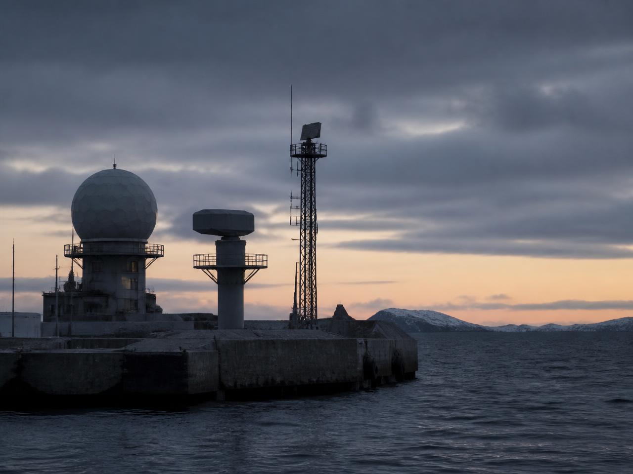
01Fuse heterogeneous sensors into a common low-altitude operational picture for Counter-UAS operations.
Explore Defence →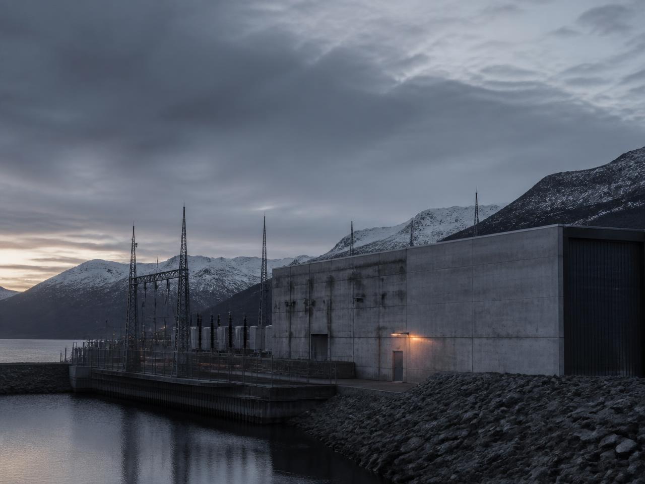 02
02Monitor sensitive facilities using combinations of radar, RF, EO/IR and acoustic sensing.
Explore Energy & utilities → 03
03Combine multiple detection technologies to improve situational awareness around protected airspace.
Explore Airports → 04
04Correlate coastal radar, RF and CCTV across quays, approaches and open water.
Explore Ports & maritime → 05
05One correlated picture over open, populated campuses with zone-based escalation.
Explore Campuses →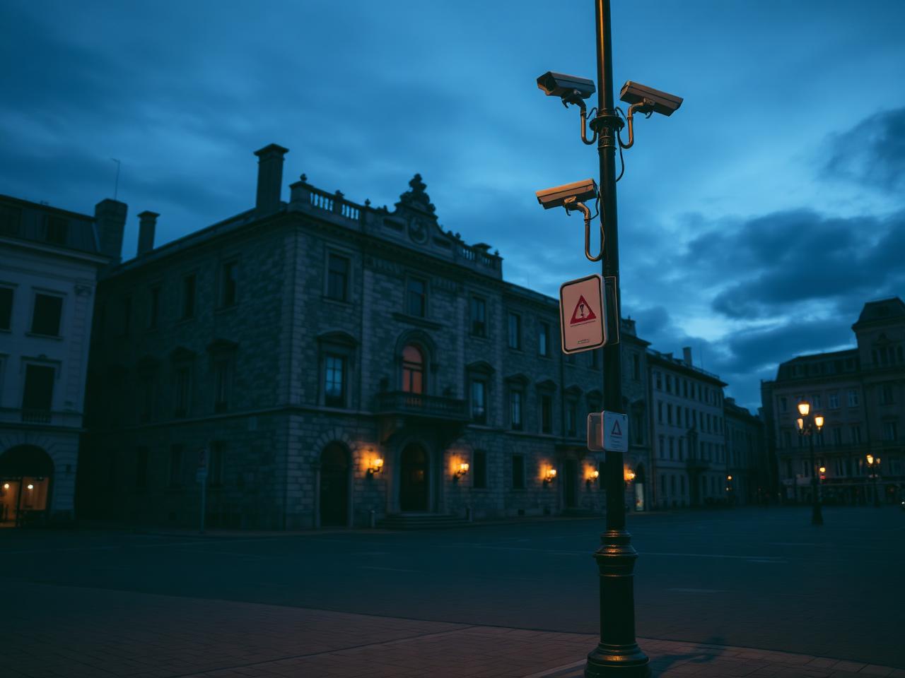 06
06Early warning over landmarks, museums and event venues for small security teams.
Explore Cultural institutions →DroneCore exchanges information with existing sensor networks, command-and-control systems and external applications through documented APIs and open interfaces.
Bi-directional exchange
Horizonte is a Norwegian technology company developing advanced software for sensor integration, tracking and operational awareness.
Oslo, Norway
Turn disconnected drone detection systems into one operational picture.
DroneCore by Horizonte isn’t another sensor. It is the intelligence layer that makes multiple sensors work as one.
Discuss an integration