Open, permeable perimeters
Campuses are designed for public access, so a fence line is not a meaningful security boundary.
DroneCore by Horizonte gives corporate, research and university campuses a single correlated low-altitude picture across open ground, rooftops and restricted buildings.
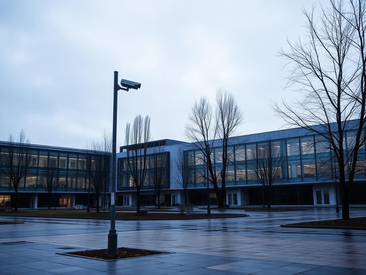
Campuses are designed for public access, so a fence line is not a meaningful security boundary.
Routine recreational flights make raw detections a poor basis for a response decision.
Labs, data centres and executive areas need protection from close-range imaging and payload delivery.
Facilities, security and communications teams need the same picture at different levels of detail.
RF, radar, acoustic and camera evidence resolves into a single track list for the whole campus.
Rules distinguish overflight of open lawns from approach to protected buildings.
Classification and confidence scoring suppress birds, weather and routine traffic.
Recorded tracks and imagery support incident reports and law-enforcement referrals.
Rooftop RF sensors and a compact radar feed a campus-local DroneCore edge instance.
Observations are associated into tracks with a running confidence score.
Zone rules escalate only tracks that approach protected buildings or loiter overhead.
Alerts reach the security operations centre and on-site guards through existing tooling.
DroneCore by Horizonte is sensor-agnostic. It ingests from the equipment already deployed and publishes correlated tracks onward through documented APIs and open interfaces.
A research campus connected rooftop RF sensing and existing CCTV to DroneCore, so its small security team only sees drones that actually approach protected buildings.
Request the full case studyUsually not. DroneCore by Horizonte is sensor-agnostic and starts from existing CCTV plus a small number of RF or radar sensors placed for coverage.
Zone rules and confidence scoring mean only tracks that approach protected areas or loiter overhead escalate to operators.
The system tracks aircraft, not people, and camera use, retention and access are configurable to your policy and local regulation.
Yes. Alerts and correlated tracks publish through documented REST and streaming interfaces into SOC and notification tooling.
We map your buildings, protected zones and installed sensors, and outline how DroneCore by Horizonte would deliver one correlated campus picture.