Runway disruption risks
An unverified sighting can stop movements long before anyone can confirm what was actually in the air.
DroneCore by Horizonte correlates airport detection sensors into one verified picture, so a reported sighting becomes a confirmed track — and a documented decision — in seconds.
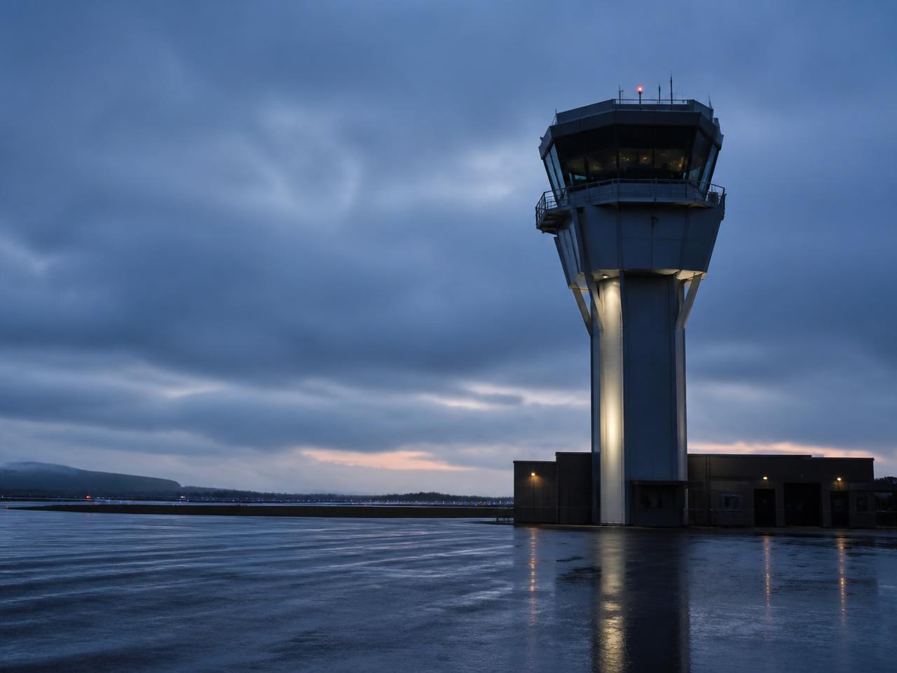
An unverified sighting can stop movements long before anyone can confirm what was actually in the air.
Slow verification turns a short incident into hours of recovery across the schedule.
Authorities expect traceable evidence of what was detected, when, and what was done about it.
Detection, video, access control and the SOC each hold part of the picture and none holds all of it.
Correlated radar and RF evidence with confidence scoring instead of a single ambiguous return.
Confirmed classification supports proportionate response rather than precautionary shutdowns.
Tower, security and the SOC work from the same track list and the same alert.
Track playback, statistics and export produce a defensible record for the regulator.
Perimeter radar and RF/Remote ID receivers stream into DroneCore alongside existing video.
Detections are associated into single tracks and separated from bird and clutter activity.
Airspace incursion and no-fly zone rules raise scored alerts with cued camera views.
Alerts and tracks are shared with the SOC, tower and security systems, with full replay retained.
DroneCore by Horizonte is sensor-agnostic. It ingests from the equipment already deployed and publishes correlated tracks onward through documented APIs and open interfaces.
An international airport combined perimeter radar, RF detection and existing video management under DroneCore, giving tower and security staff one shared assessment and an exportable incident record.
Request the full case studyNo. DroneCore by Horizonte ingests from the radar, RF and camera systems already installed and correlates their output into one picture.
Yes. Track playback, statistics and reporting exports provide a traceable record of what was detected and when.
Fusion across independent sensor types plus AI classification suppresses bird and clutter activity that a single sensor would report as a target.
DroneCore publishes correlated tracks and alerts over documented REST and streaming interfaces, and cues PTZ cameras through supported video management platforms.
We map your current detection and security systems and show how DroneCore by Horizonte would connect them into one verified airspace picture.