Large open operational areas
Quays, approaches and anchorages extend far beyond any single sensor's usable range.
DroneCore by Horizonte fuses coastal radar, RF detection, AIS and CCTV into one maritime picture, so port authorities and terminal operators see the same activity at the same time.
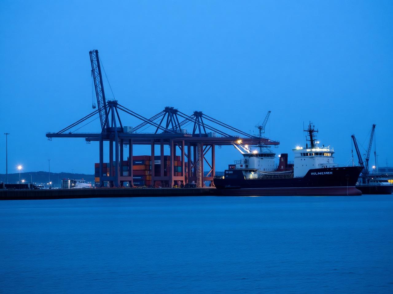
Quays, approaches and anchorages extend far beyond any single sensor's usable range.
Flights originate from water, neighbouring jurisdictions or vessels, with no clean handover point.
Weather, sea clutter and night operations degrade the sensors relied on individually.
Port authority, terminal operators, coast guard and police each hold a partial view.
Air and surface context combined into one continuously updated operational picture.
Coastal radar, RF and camera evidence associated into single tracks with confidence scoring.
One console for shoreline, terminal and approach coverage instead of separate systems.
The same track and alert can be shared across authorities and terminal security.
Coastal radar, RF receivers, AIS feeds and quayside CCTV connect into DroneCore.
Air tracks are fused and cross-referenced with vessel traffic context.
Classification and zone rules distinguish routine port activity from incursions.
Alerts reach the port command centre and partner agencies through shared interfaces.
DroneCore by Horizonte is sensor-agnostic. It ingests from the equipment already deployed and publishes correlated tracks onward through documented APIs and open interfaces.
A commercial port connected shoreline radar, RF detection and existing CCTV to DroneCore, giving the port command centre and partner agencies a single correlated view of low-altitude activity.
Request the full case studyYes. AIS and vessel traffic feeds can be ingested as context alongside correlated air tracks in the same operational picture.
Fusion across independent sensor types means a degraded radar picture is corroborated or corrected by RF and imagery evidence before an alert is raised.
Correlated tracks and alerts are published over documented interfaces, so port authority, terminal security and partner agencies can consume the same data.
No. DroneCore by Horizonte is sensor-agnostic and ingests standard formats including ASTERIX and JSON.
A working session on your shoreline sensor coverage and how DroneCore by Horizonte would unify it across port stakeholders.